Bucarasica


Bucarasica, Norte de Santander, Colombia
Suggest Place to Visit
2210
Track to location with GPS |
 |
The primitive inhabitants of what is today Bucarasica were the Búcaros Indians, who lived in the territories between the Tarra and Sardinata rivers. They were workers and friends of the trade. Legend has it that Cacique Búcaro fell in love with the Indian Curasica, who did not believe in death. When Curasica died, she was buried with food and all her belongings in what is now the town's central park. The previous legend is the one that gave the origin to the current name, since it was previously called El Playón y la Florida.
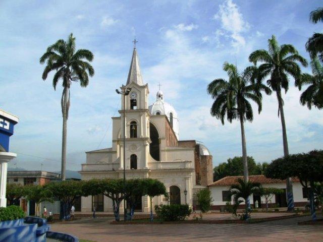
According to tradition, the period between 1870 and 1880 dates back to its foundation. Through the generations it is said that "breaking the tangle of the jungle, in what is now called the Agua Blanca village, he came from the Cross (today Ábrego) where José María Restrepo, along with his family. In the midst of their fatigue from the hard walk, they had to rest on a ridge that I call the Playón (because it is close to the Playonero river, which takes the name Sardinata below). There he built the first hut to ward off the cold. Later, Raimundo Ordóñez, Raimundo Peñaranda and Ramón García continued the process of colonization of the territory. Once this region was colonized, the bishop of Santa Marta, Monsignor Rafael Celedón, who founded the parish of the Virgen del Carmen in 1903, was present, whom its inhabitants took as their patron.
It was created as a municipality by ordinance 11 of May 30, 1941, which ratified it.
Full Name: Bucarasica
Foundation: 1870.
Founder: José María Restrepo.
Population: DANE 2005 Census: 4,561 inhabitants.
Altitude: 1,125 meters above sea level.
Extension: 267 km2.
Climate: 22 ° C.
Distance to Cúcuta: 110 Km
Geographic coordinates: Longitude west of Greenwich 72º 52´, North latitude 8º 03´
Limits: North: Ábrego and Sardinata,
South: Villacaro and Lourdes,
East: Sardinata,
West: Ábrego and Villacaro.
Administrative Division: Composed of 26 sidewalks.
Rivers: Playonero that later takes the name of Sardinata and the streams Aguablanca, La Florida, Las Indias, La Miel, Ocarema and Palacio.
North Region
Economy:
Agricultural production such as coffee, its main product, citrus fruits, sugar cane, cocoa, big-headed onion, cassava, banana and avocados.
Livestock production in bovines, pigs, donkeys and poultry.
Holidays:
Town festivals
Day of the Virgin of Carmen
Tourist sites:
Well of the Drowned
The hammock
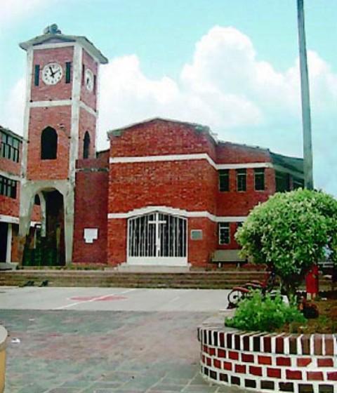
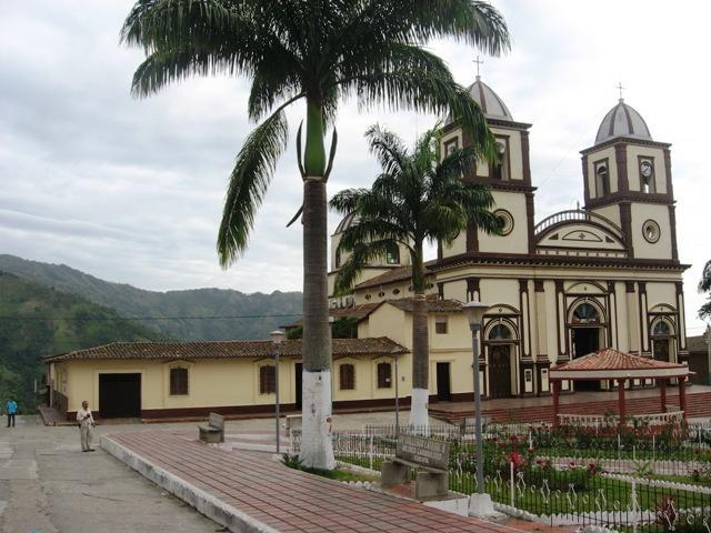
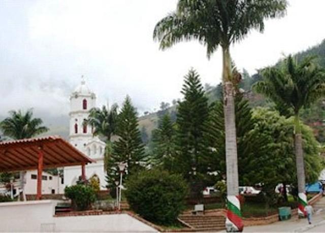
Principal Park
Comments
We don´t have yet any comments about:
Bucarasica
Bucarasica
Be the first to leave a comment as it is very important to inform other people
Outros locais a visitar
Within a radius of 20 km from:Bucarasica
Cidade Sardinata |
| 8,5 Km |
 |
Cidade de Lourdes |
| 11,2 Km |
 |
Villacaro |
| 18,0 Km |
 |
Hotel reservation near Bucarasica within a radius of 20 km
No results
Why to book with ROTAS TURISTICAS
The best prices
Our partnerships with the world´s largest operators offer research on the best market prices.
More options
At Rotas Turisticos you can book the hotel, buy the air ticket, book the transfer from the airport to the hotel and vice versa, book the local excursions, rent the car, take travel insurance and consult the places to visit and where to go.
Holiday Tips & Destinations
Hundreds of holiday destinations with all the options that allow you to easily choose the destination that best suits your dream vacation.
ROTAS TURISTICAS
Links
Follow us on social networks


