City Pamplonita


Pamplonita, Norte de Santander, Colombia
Suggest Place to Visit
432
Track to location with GPS |
 |
The natives of the town of Chopo, today Pamplonita, were entrusted to Captain Juan de Maldonado, according to the Royal Decree of February 22, 1550. This information was obtained from the documents that rest in the parish archive and provided by the priest Juan Pabón Lizcano. Tradition says that it received the name of Chopo, in memory of the chief ´´ Chepo´´ and that it was given by the doctrinaire fathers to the Indian parish of that region.
The commission of Juan de Maldonado was succeeded by those of María de Velasco and, later, those of Cristóbal de Araque and his heirs, who administered this town and established their ranches, farms, and agricultural and livestock activities with the usufruct of labor. indigenous.
In a study by the historian Silvano Pabón on the town of Chopo, he says that: ´´ In 1559 Don Cristóbal Bueno, a Spanish visitor, counted 447 tributaries that with their families made a population of approximately 1500 people. Then, in 1560, another visitor, the lawyer Tomás López, left instructions to the encomenderos and doctrinal friars to populate the indigenous community in a settlement in the Hispanic way, ´´ giving plans to make blocks, streets and squares´´. Within the framework of the same, a hut will be built for the church and another for the prison, the chief and captains of the town would be located, forming with the others a ´´population´´, which would be administered in ´´ things and the Holy Catholic Faith´´.
Full Name: Pamplonita
Foundation: 1550.
Founder: Juan de Maldonado.
Population: DANE 2005 Census: 4,792 inhabitants
Altitude: 1,725 meters above sea level.
Extension: 179 km2.
Climate: 19 ° C.
Distance to Cúcuta: 63 Km.
Geographic coordinates: Longitude west of Greenwich 72º 39´, North latitude 7º 26´
Limits: North: Bochalema and Chinácota,
South: Labateca and Pamplona,
East: Chinácota and Toledo,
West: Bochalema, Cucutilla and Pamplona.
Administrative Division: Composed of a municipal seat and 22 sidewalks.
Rivers: Pamplonita and the La Tescua, Las Isabeles, Santa Ana, Corral de Piedra, Santa Helena, Pica Pica, El Hático, Batagá, Llano Grande and Cimitarigua streams.
Region: South Western
Economy:
Agricultural production: potato, citrus, sugar cane, morón, pea and beans.
Livestock production: Cattle, horses, pigs, rabbit and poultry.
Mining production: coal.
Holidays:
Employers in honor of our lady of the Rosary
Farmers' Day
Easter
Music, string and voices festival
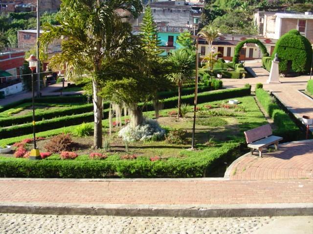
Tourist sites:
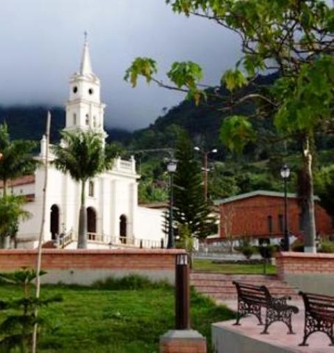
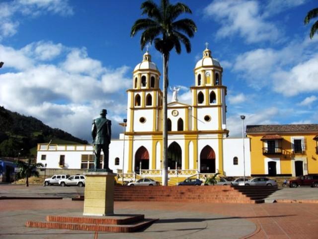
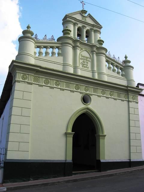
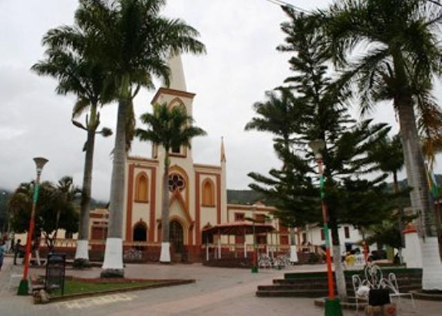
Parish church
Potosí Bridge
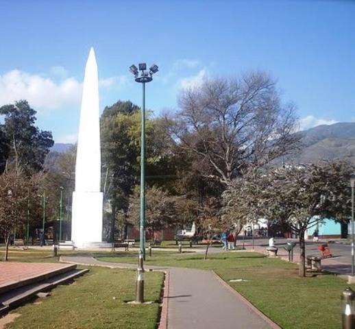
Monument to Christ the King
Borrero Cave
Comments
We don´t have yet any comments about:
City Pamplonita
City Pamplonita
Be the first to leave a comment as it is very important to inform other people
Outros locais a visitar
Within a radius of 20 km from:City Pamplonita
Herran |
| 11,1 Km |
 |
São João Batista da Chinacota |
| 12,9 Km |
 |
Bochalema |
| 14,1 Km |
 |
Cidade Ragonvalia |
| 14,7 Km |
 |
Cidade Pamplona |
| 15,5 Km |
 |
Hotel reservation near City Pamplonita within a radius of 20 km
Why to book with ROTAS TURISTICAS
The best prices
Our partnerships with the world´s largest operators offer research on the best market prices.
More options
At Rotas Turisticos you can book the hotel, buy the air ticket, book the transfer from the airport to the hotel and vice versa, book the local excursions, rent the car, take travel insurance and consult the places to visit and where to go.
Holiday Tips & Destinations
Hundreds of holiday destinations with all the options that allow you to easily choose the destination that best suits your dream vacation.
ROTAS TURISTICAS
Links
Follow us on social networks


