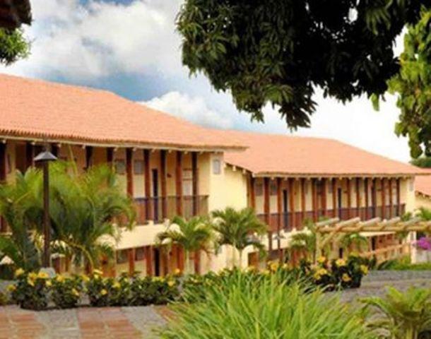
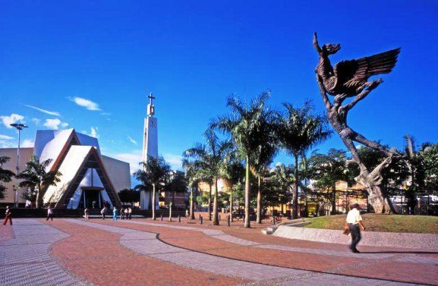
Quimbaya, Quindio, Colombia
Suggest Place to Visit
1985
Track to location with GPS |
 |
Founded date: November 3, 1914
Name of the founders: Juan de Jesús Buitrago, Víctor Grajales, Eladio Ocampo
To contextualize the territory that this study occupies, we will refer to it in a summarized way in such a way that without going into deep analysis we understand that without knowing where we come from it is very difficult for us to build the future. This is how in some way the sense of belonging of the inhabitants, their location in time and their cultural traditions are the product of a historical process that has passed from the pre-Columbian period, conquest, Cauca period, Caldense period until the time of Quindío. With the creation of the Department of Quindío in 1966, Armenia marks a new center of the Quimbaya region, creating the coffee axis of western Colombia in the same way, the coffee boom makes Quimbaya have comparative advantages as a producer of grain, strengthening in some way the departmental economy but above all, generating economic stability in the region in its urban dynamics, projecting itself as a new articulating center with the north of the Valley, since it is a mandatory route for Cartago and the Pereira - Cali variant and on the routes from the center of the country to the Colombian Pacific. The foundation in time of the war of the thousand days 1889 time of immigration of colonists towards Quindío; the pioneer settlers appear; then towards 1902, it already had enough inhabitants in rural towns, among which were Juan de Jesús Buitrago, Víctor Grajales, Eladio Ocampo; The first established an inn in the place called Ceilán. This fact was the milestone of the foundation, there the settlers who settled in the region came from long days from Filandia to the Rio la Vieja in the Valley; or that they were going to other places such as Tres Esquinas, the people who traveled to the Balsa today Alcalá. This route was made on horseback and mule; these livestock were imported by the Conquerors from Spain. Most of the roads traversed by our settlers had already been traced by our natives, routes that they used for their trade. The news of the wealth of their lands, not only the indigenous tombs, but also their fertility, caused avalanches of emigrants to arrive and thus the first years went by. However, the legend of a great indigenous cemetery that had fabulous guacas was created, which hindered the foundation, until Mr. Luís Ocampo detached himself from an important strip of his land in the jurisdiction of Filandia with which he could fulfill the distribution of lots for all the partners of the purpose and thus to be able to carry out the deeds, then the engineer Miguel Varón Caicedo was hired who, in the company of Ramón Echeverry, his first chain-worker, drew threads and levels and began to build affordable homes. And it was until April 5, 1922 that the name of the municipality of Quimbaya was granted, despite having proposed names such as Alejandría, Bolívar, Andalucía, and Lorena; The communicators of the time say that Carlos Jaramillo Izasa is a public man, a deputy to the Caldas assembly who, by ordinance 26 of April 5, 1922, achieves the municipality with the municipal seat of Alejandría and the corregimiento of the same name and that of Pueblo Rico; with the following text: e quot; The limits of the new municipality are from the mouth of the San Felipe stream in the Rio la Vieja Department of the Valley to the landmark near the house of Santiago Castillo, next to the road, from there to the point of the Delgaditas, up to the Buenavista creek; upstream to Hispaniola, from there in a straight line to the Roble River and from there downstream to the La Vieja River, from there to the departure. The following article establishes the number of inhabitants at 4,815. the first Mayor was Antonio Cifuentes, appointed on the fourth (4) of July 1922, in the first sessions of the Municipal Council. POPULATION According to the data provided by DANE and the results of the last census (1993) with projections to the year 2001, the total population of the municipality is 40,759 inhabitants, equivalent to 7.12% of the total of the department, distributed in 28,945 in the head and 11,814 in the rural area. The municipality has 42 neighborhoods (including the new neighborhoods of the citadel El Sueño and Agualinda), 4 populated centers and 26 villages in the rural area.
The municipality of Quimbaya is located in the north-western part of the department of Quindío, it limits to the North with the department of Valle, municipality of Alcalá, to the East with the municipalities of Filandia and Circasia, to the South with the municipality of Montenegro and to the West with the municipality of Obando, department of Valle del Cauca. Geographically it is located between the coordinates 4º 34 ”and 4º 40` of north latitude and 75º 53” and 75º 42´ of west longitude; the altitude of the municipal territory is on average 1,425 m.a.s.l. Based on the regionalization of the Department of Quindío, the municipality of Quimbaya is located in the central western region, characterized by providing the highest production in the department. The Municipality of Quimbaya has an area of 12,669 ha. and the municipal seat is located at 1,340 m.a.s.l. and at a distance of 20 km. of the city of Armenia
Limits of the municipality:
It limits to the North with the department of Valle, municipality of Alcalá, to the East with the municipalities of Filandia and Circasia, to the South with the municipality of Montenegro and to the West with the municipality of Obando, department of Valle del Cauca.
Total extension: 126.69 Km2
Urban area extension: 2.21 Km2
Rural area extension: 124.48 Km2
Altitude of the municipal seat (meters above sea level): 1314
Average temperature: 21º C
Temperature characteristics. The temperature averages are very stable within each of the defined climatic zones, in the lower part there is an average of 20 to 21o C. And in the middle part of 18º C; however, between the daily maximum and minimum values, there are significant differences; Variations of up to 12o have been recorded between the maximums towards noon and the minimums at dawn. HYDROGRAPHIC ASPECTS The municipal area is irrigated by a large number of streams that mostly run East-West; Most of them are born in the municipality of Filandia in the area recognized as the “Fluvial Star of Quindío”. The main micro hydrographic basins are: the Roble river whose main channel serves as boundaries with the municipality of Montenegro, the Buenavista Creek that runs through the entire municipal area, supplies water to the municipal head and a good part of the rural sector, is constituted in the most important stream for the municipality, and in the northern sector is the Quebrada San Felipe micro-basin with a large number of tributaries that run in the Southeast - Northwest direction, Quebrada Campo Alegre and Tigrera. The five basins at the end are part of the great La Vieja river basin. It is important to note that many tributaries of these five micro-watersheds are born in the municipal area within the coffee zone and at the same time, some of them in the vicinity of the municipal seat, which allows them to receive a quantity of residual materials and resulting pollutants. of agricultural activity and housing. Geomorphological aspects: The geomorphological characteristics of the area in the municipality of Quimbaya correspond to the presence of exogenous processes such as surface erosion that determines the dissection of the forms, the glacial action, specifically the thaw in the upper part of the mountain range and the consequent drag and deposit of materials, giving rise to the foothills and the small valleys between hills; the runoff formed the domes and valleys through which the streams run. The entire area of the municipality corresponds to the so-called Abanico del Quindío, a form of fluviovolcanic and fluvioglacial origin, resulting from the combination of endogenous processes, such as the rising of the Central Mountain Range and volcanism, with exogenous processes, such as thawing and the dragging of materials. , which caused the accumulation of heterogeneous and heterometric materials, later covered by thick blankets of volcanic ash carried by the wind, from the Machín del Tolima Volcano.
The economy in the municipality of Quimbaya is fundamentally rural; It depends on agriculture and in the second line livestock. Commerce, financial and institutional services are concentrated in the urban sector. The municipality has an economy dependent on agricultural activities, the cultivation of coffee being of greater importance, followed by bananas, tomatoes, vegetables, citrus fruits, etc. Another important occupation is the informal economy made up of street vendors, seasonal workers and harvesters. In the municipality, as in the rest of the Department, agrotourism is being promoted on coffee farms, which generates other sources of employment for the local and regional population. Micro-business, commercial, artisanal and tourism sectors: The Micro-business sector of our Municipality presents two obvious trends: Associated and independent, both subject to the same shortcomings and difficulties. At the local level, the microenterprise presents the following limitations: Low productivity, competitiveness, and profitability due to the following: problems: Market Narrowness Low negotiating capacity Poor product quality Low marketing capacity Poor production levels Lack of capital resources Scarce availability and preparation in the workforce Poor managerial training of microentrepreneurs. Local commerce is affected as a result of the low income of the population, which has been generated by the crisis in the rural sector, as a consequence of the economic opening, which produced a collapse of the Agricultural Sector due to its high production costs that prevent being competitive; In addition, the informal trade that migrates from another Municipality to Quimbaya without paying tribute to the municipality, produces a reduction in sales and income for local merchants. The state of the tourist sites of the municipality show a tendency to decrease due to the insecurity that makes the tourist flow impossible, in addition to the economic situation that is currently being experienced. Ecological tourism and agritourism must become a viable strength or alternative. The scenic beauty, the fauna, the flora, the landscape and even the use of the land are environmental components of high tourist attraction, the valuation of the everyday places for an organized tourist offer. There is a tourist offer of farms with some conditioning to receive guests.
Festivities
Candle and Lantern Festival
Contest that is held every year on December 7 and 8. Artisan creativity where quantities of Quimbayuna families manifest themselves to consolidate the design of a Lantern with which they decorate their sector. With a magical harmonic and spiritual color in which prayers are raised to the Virgin Mary.
Comments
We don´t have yet any comments about:
Quimbaya
Quimbaya
Be the first to leave a comment as it is very important to inform other people
Outros locais a visitar
Within a radius of 20 km from:Quimbaya
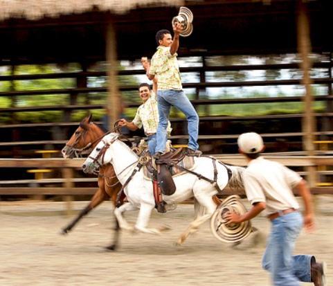
Parque Panaca |
| 6,7 Km |
 |
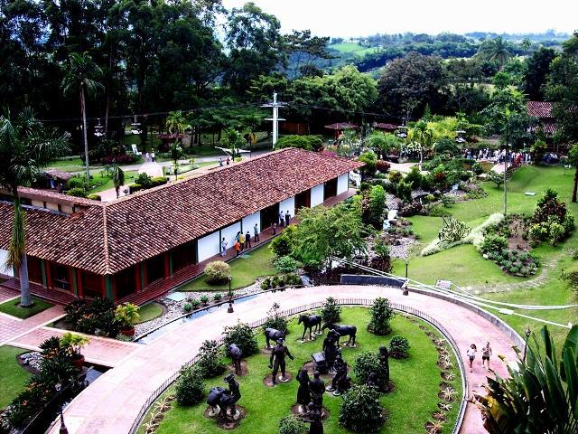
Parque Nacional del Café |
| 9,3 Km |
 |
Eixo Café |
| 11,9 Km |
 |
Armenia |
| 12,7 Km |
 |
Hotel reservation near Quimbaya within a radius of 20 km
Why to book with ROTAS TURISTICAS
The best prices
Our partnerships with the world´s largest operators offer research on the best market prices.
More options
At Rotas Turisticos you can book the hotel, buy the air ticket, book the transfer from the airport to the hotel and vice versa, book the local excursions, rent the car, take travel insurance and consult the places to visit and where to go.
Holiday Tips & Destinations
Hundreds of holiday destinations with all the options that allow you to easily choose the destination that best suits your dream vacation.
ROTAS TURISTICAS
Links


